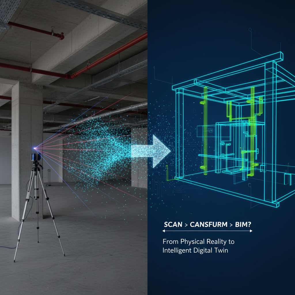
Bridge the gap between the physical world and the digital environment with Envision 360’s Scan to BIM services. We specialize in converting high-density 3D laser scan data (Point Clouds) into accurate, parametric Revit models.
Whether you are managing a complex renovation, a heritage restoration, or an industrial retrofit, our Point Cloud to BIM workflow eliminates the uncertainty of manual surveys. We deliver As-Built documentation that reflects the exact geometry of your site—sagging beams, sloping floors, and complex MEP systems included.
Scan to BIM is the process of using 3D laser scanning to capture the physical condition of a building or site and converting the point cloud data into an accurate BIM model. This process ensures your team works with precise, real-world data—eliminating errors from outdated 2D drawings and manual measurements.
Millimeter-level precision for even the most complex structures.
Streamline your workflow from site capture to digital modeling.
Eliminate rework and design conflicts with reliable as-built data.
We don’t believe in "one size fits all." We tailor the Level of Development (LOD) to match your project stage and budget, adhering to AIA and BIM Forum specifications.
LOD Level | Description | Best Application |
LOD 100 (Concept) | Massing & Volume: Approximate geometry representing the sheer volume and orientation of the building. | Site analysis, zoning, and preliminary cost estimation. |
LOD 200 (Schematic) | General Systems: Modeled as generic systems with approximate quantities, size, shape, and location. | Space planning, design development, and existing condition analysis. |
LOD 300 (Documentation) | Precise Geometry: Modeled as specific systems (e.g., specific wall types, column sizes) with accurate dimensions, orientation, and main interfaces. | Construction Documents (CDs), architectural renovation, and structural analysis. |
LOD 350 (Coordination) | Inter-Trade Coordination: Includes accurate interfaces with other building systems (e.g., supports, connections, clearances). | Clash Detection between MEP and Structure. Critical for retrofit projects. |
LOD 400 (Fabrication) | Fabrication Ready: Modeled with sufficient detail for fabrication, including welds, bolts, flanges, and assembly details. | Pre-fabrication of steel, HVAC ductwork, and modular construction. |
LOD 500 (As-Built) | Field Verified: The model is a field-verified representation in terms of size, shape, location, quantity, and orientation. | Facility Management (FM), Operations, and Maintenance (O&M). |
We follow a rigorous Quality Assurance (QA) process to ensure the digital model aligns perfectly with reality.
We accept all major point cloud formats (E57, RCP, RCS, LAS, PTS, PLY) generated by Faro, Leica, Trimble, or NavVis scanners.
We process the raw data to remove "noise" (reflections, moving people) and unify the coordinate system.
Using Autodesk Revit, we trace the point cloud data, converting millions of points into intelligent parametric families.
We overlay the generated model onto the point cloud to verify accuracy. o Standard Tolerance: ±10mm to ±25mm (Customizable based on needs).
Adding non-geometric data (COBie attributes, material tags, phasing) if required.
You receive the native .RVT file, IFC export, and CAD sheets.
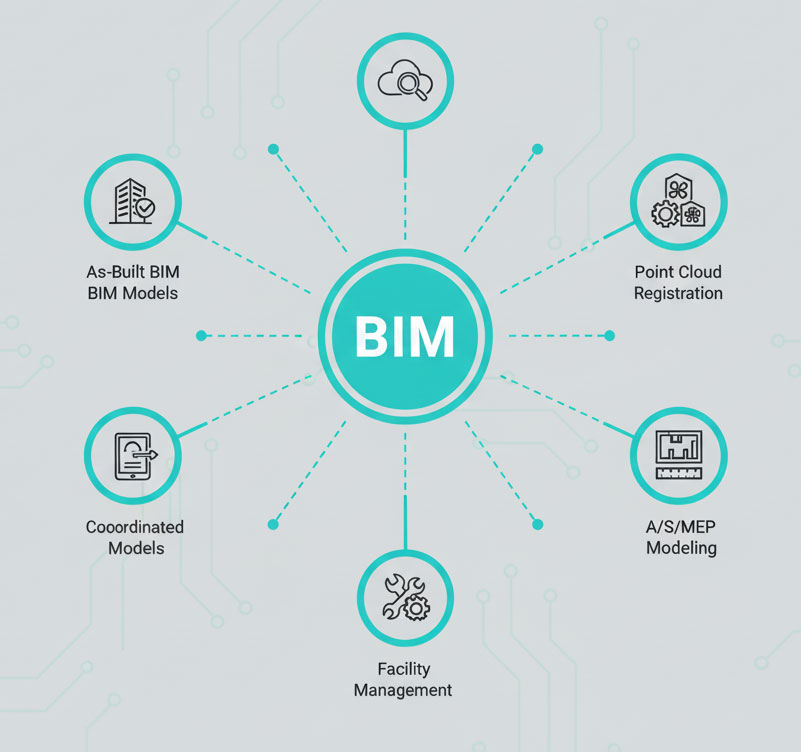
With our Scan to BIM services, you get more than a 3D model—you gain an intelligent digital replica of your building that supports efficient planning, design, and facility operations.
Empower your team with the data-driven insights needed for smarter construction and lifecycle management.
Behind the word mountains, far from the countries Vokalia and Consonantia, there
©2025. Envision360. All Rights Reserved.