3D Laser Scanning for Infrastructure & Civil Scanning
Survey-Grade Data for Critical Infrastructure.
Rapid, long-range LiDAR scanning for bridges, tunnels, roads, and railways.
At Envision360, we deliver high-accuracy 3D laser scanning and reality capture for infrastructure and civil engineering projects. Our solutions provide detailed as-built data for roads, bridges, tunnels, railways, and urban environments — enabling engineers to design, inspect, and maintain assets with confidence and precision.
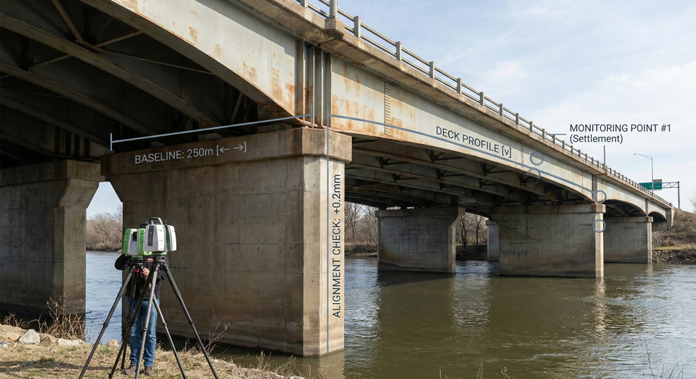
Bridge Structural Health Monitoring
Document baseline geometry to monitor long-term shifts, settlement, or crack propagation in bridge piers and decks.
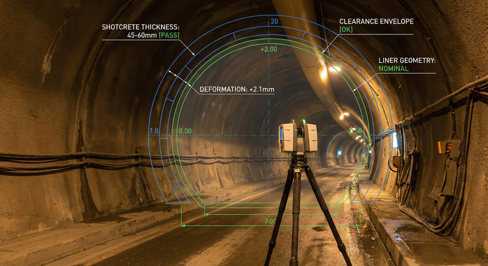
Tunnel Profiling & Clearance
Automatically detect liner deformation, calculate shotcrete thickness, and verify clearances for rolling stock.
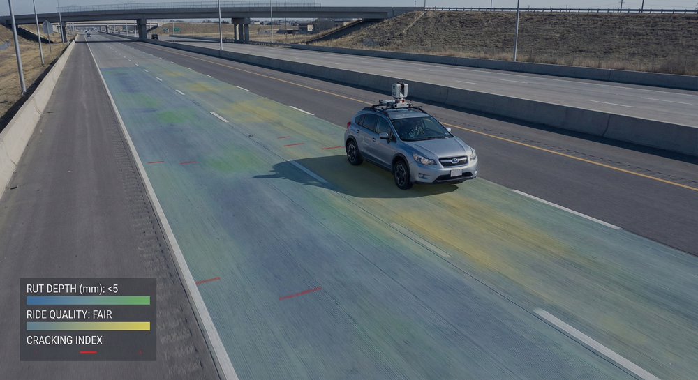
Roadway Surface Analysis
High-speed mapping of rutting, cracking, and ride quality (IRI) for pavement management systems.
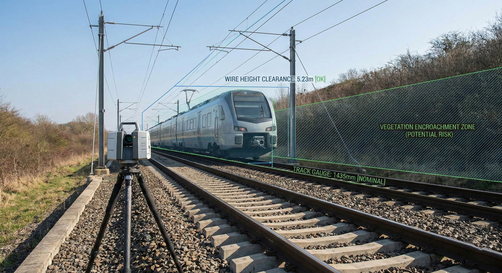
Rail Corridor Surveying
Verify overhead catenary wire heights, track gauge, and vegetation encroachment for electrification projects.
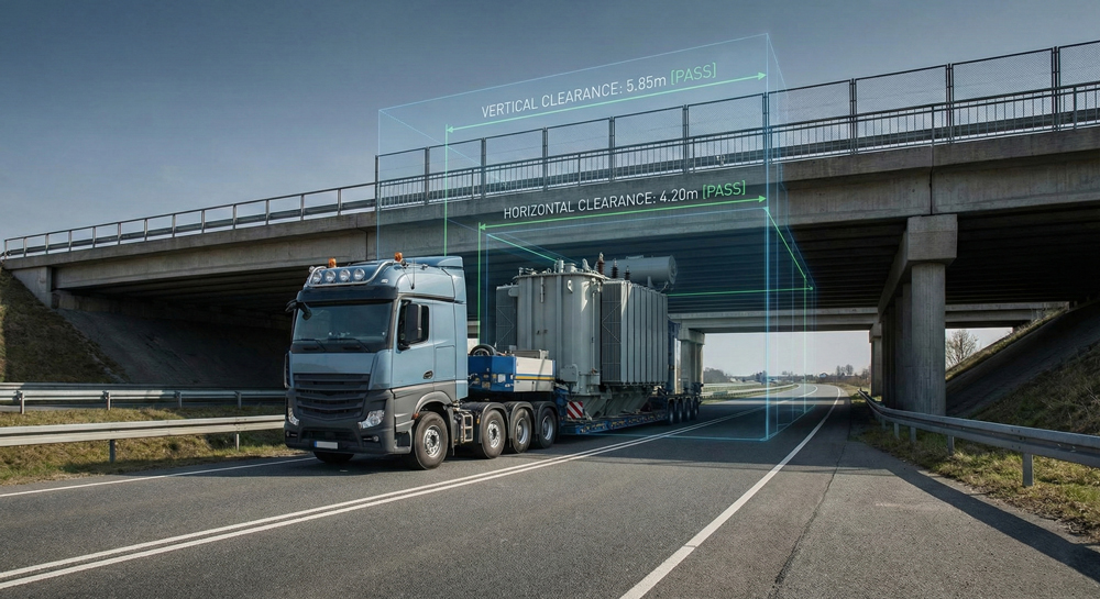
Oversize Load Logistics
Analyze route clearances under bridges and overpasses to plan safe transport for massive industrial equipment.
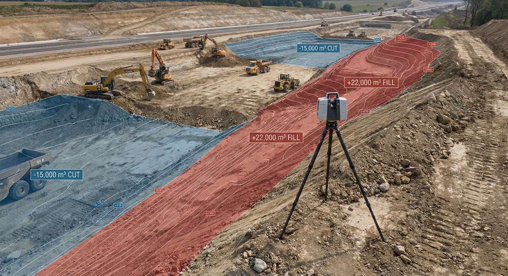
Cut & Fill Volume Calculations
Precise earthwork volumetric reporting for highway construction and large excavation sites.
Key Benefits
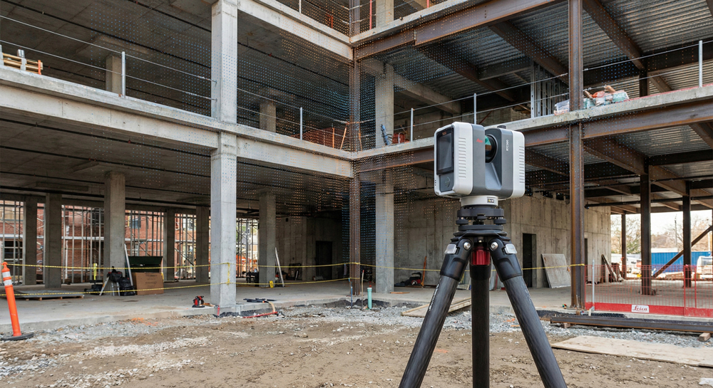
Accurate site documentation for large civil projects
We utilize long-range scanners capable of capturing data from hundreds of meters away, ensuring comprehensive coverage of large civil assets with minimal setups.