3D Laser Scanning for the Robotics & Automation Sector
Digital Environments for Autonomous Operations.
High-definition mapping for AGV deployment and warehouse automation simulation. Introduction
Autonomous robots need accurate, up-to-date maps to navigate safely and efficiently. We scan warehouses, factories, and fulfillment centers to create high-definition 2D occupancy grids and 3D simulation environments. This data is the essential foundation for deploying Automated Guided Vehicles (AGVs) and Autonomous Mobile Robots (AMRs).
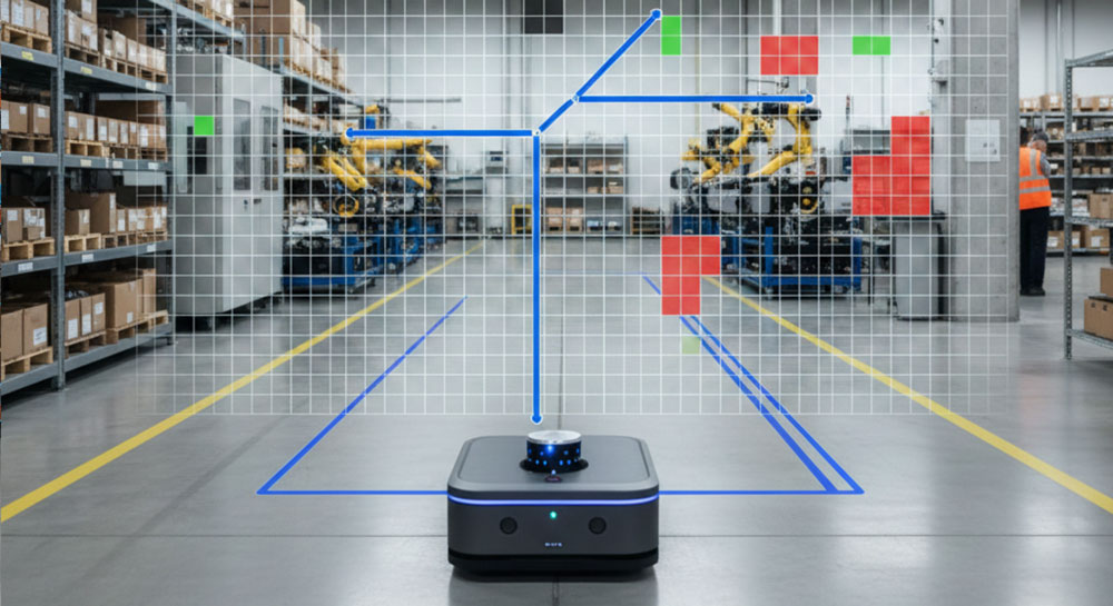
SLAM Map Generation
Create static 2D occupancy grid maps for AGV/AMR localization and pathfinding algorithms.
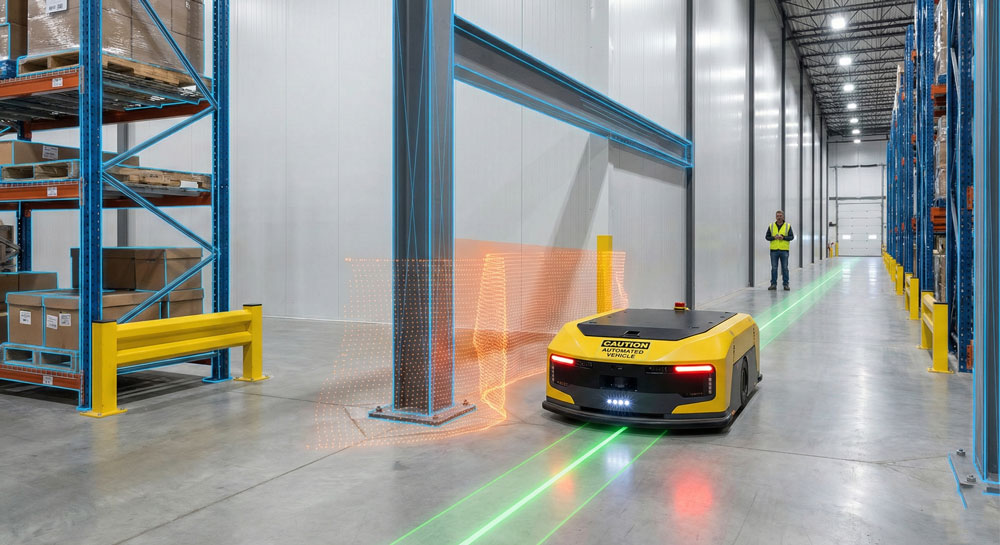
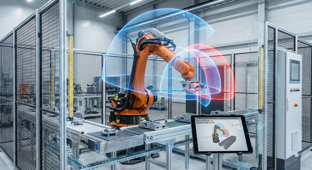
Collision Avoidance Planning
Identify permanent obstacles, overhangs, and pinch points that could impede robot navigation.
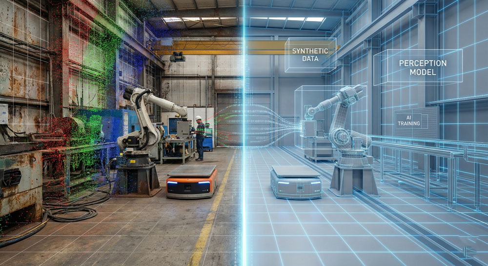
Synthetic Data Generation
Use the 3D scan to create a photorealistic simulation environment for training AI perception models.
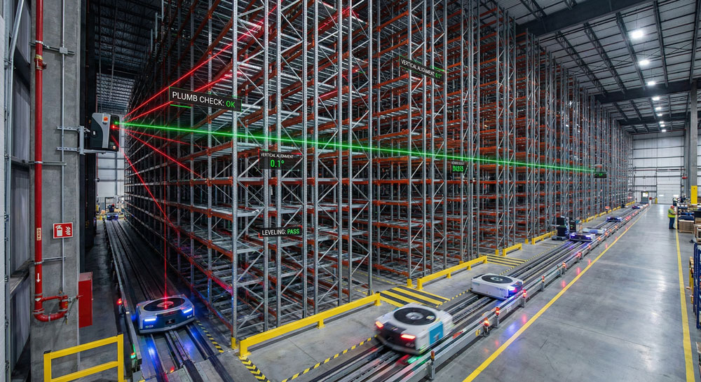
Warehouse Racking Verification
Verify that racking systems are plumb and aligned correctly for automated picking systems.
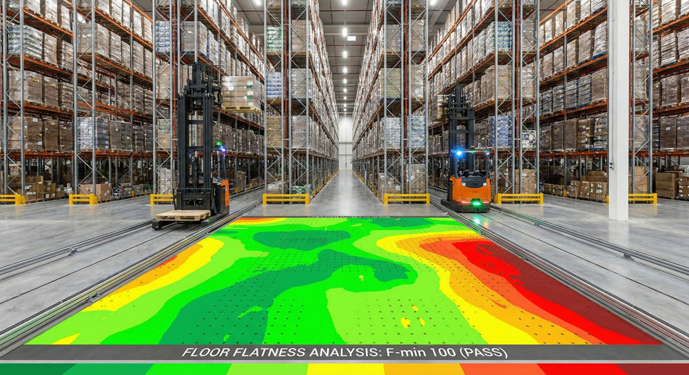
Floor Flatness for VNA
Ensure aisles meet "Super Flat" specifications required for Very Narrow Aisle (VNA) trucks and high-reach robots.
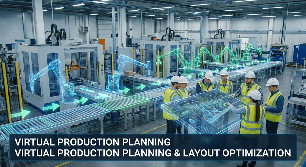
Factory Layout Optimization
Simulate new production line flows and robot workcells within the digital twin before physical installation.
Key Benefits
Accurate data for robotic design and motion analysis
Reduced downtime during integration
Support for smart factories & automation systems
Seamless interoperability with design and AI tools