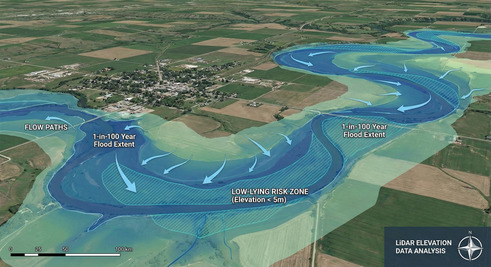
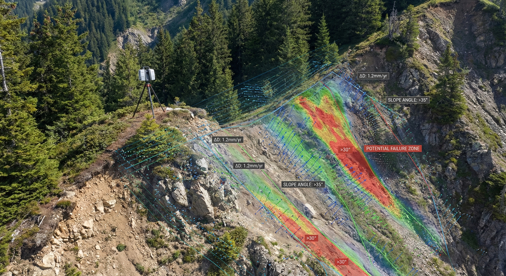
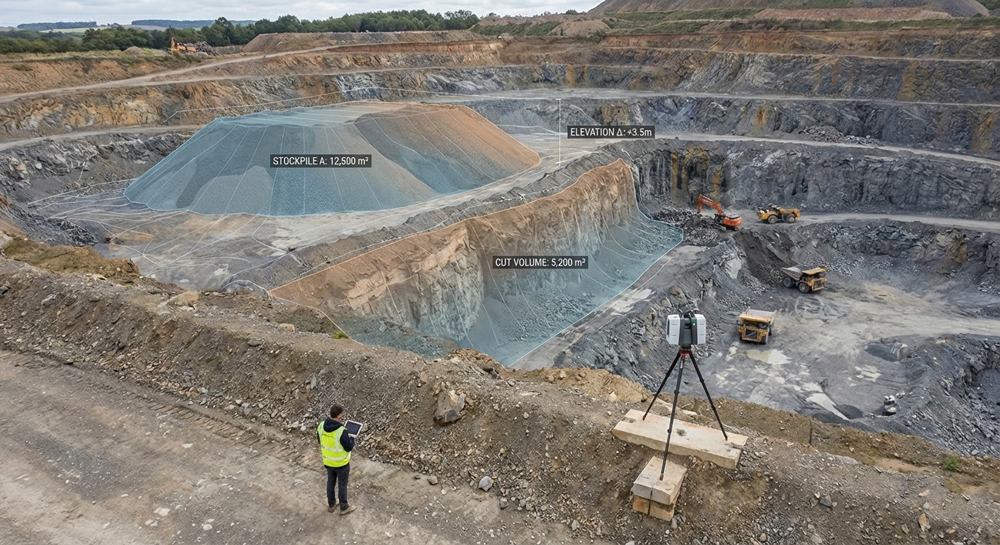
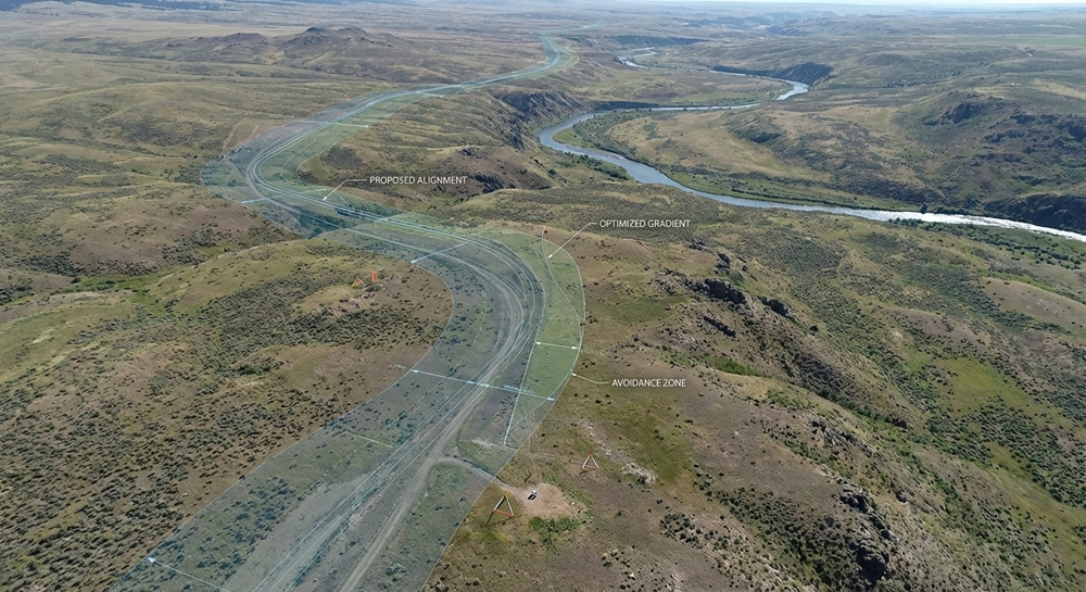
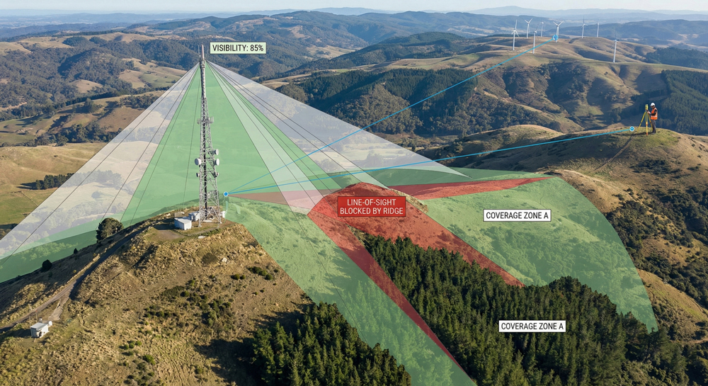
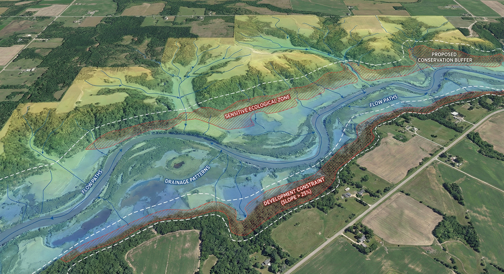
Capture vast landscapes and difficult terrain with airborne or terrestrial LiDAR solutions.
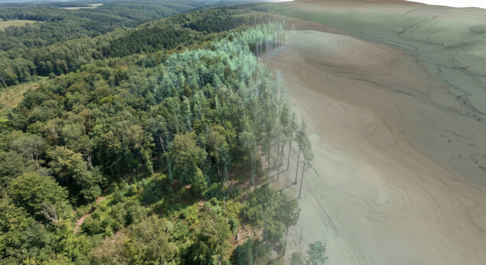
Traditional surveying methods struggle in areas with dense vegetation or steep, inaccessible slopes. Our Topographic LiDAR solutions use light pulses to penetrate tree canopies and capture the “bare earth” beneath. This provides engineers and developers with high-resolution ground data essential for accurate modeling and planning.